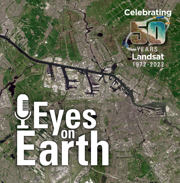
File:Celebrating 50 Years of Landsat.png
Original file (600 × 610 pixels, file size: 909 KB, MIME type: image/png)
Celebrating 50 Years of the Landsat's Earth Mapping Mission
- Earth Science uniquely changing the way we see our home planet
Planet Citizens, Planet Scientists, Preserving & Protecting the Home Planet Earth
Steven Schmidt/GreenPolicy360 Founder: Good science needs good data. In the 1960s and 1970s, US Congressional Representative from Southern California, George E. Brown proposed and set in motion a first generation of Earth Science missions and programs that continued over the decades. When one looks at today's Earth Science Research from Space and accumulative atmospheric/earth science data purposefully acquired, we are seeing the results of George's vision.
As an engineer with a physics background, Representative Brown from California knew we would need good scientific data to make the decisions guiding how we respond to the great challenges of our times, critical and existential threats on multiple fronts. The world is now tapping into the results of programs designed to produce the knowledge base George Brown knew would be needed to make smart policy and wise decisions charting a course forward. Whether we make the necessary decisions is up to our generation. Every generation has a 'generational responsibility' as GreenPolicy360 sees the challenges all of us must face as Planet Citizens.
George Brown was a first mover, seeing and studying the science and then acting as he drafted the National Climate Program Act legislation in 1978. He pushed to set up a new Science and Technology Office to press President Carter on the climate change danger (see their letter, attached here, and he continued to support and press forward with an array of scientific research programs and missions with vision over the 1980s and 1990s.
GreenPolicy360's founder was fortunate, beginning in the 1960s, to listen to Congressman Brown Congressman George E. Brown point to the NASA plan and explain how he saw Congress put into action the reality of a multi-year, coordinated, multi-agency program to achieve mission goals.
Earth science, measuring and monitoring Earth's life-enabling systems was given highest priority. Landsat's program was set in motion as a decades long, first-ever digital scanning remote satellites data collecting study. An array of satellites began to launch, creating and combining the expanding resources of NASA, USGS, NOAA, and an array of educational and scientific institutions and aeronautics business.
- https://greenpolicy360.net/w/LANDSAT_and_Virginia_Tower_Norwood
- https://greenpolicy360.net/w/Landsat_data_users_handbook
- https://greenpolicy360.net/w/Google_Earth_Timelapse
- https://greenpolicy360.net/w/Earthviews
🌎
File history
Click on a date/time to view the file as it appeared at that time.
| Date/Time | Thumbnail | Dimensions | User | Comment | |
|---|---|---|---|---|---|
| current | 20:04, 11 October 2022 | | 600 × 610 (909 KB) | Siterunner (talk | contribs) |
You cannot overwrite this file.
File usage
The following 8 pages use this file:
Metadata
- Maps
- Agricultural Economics
- Agriculture
- Climate Change
- Climate Policy
- Democratization of Space
- Earth360
- EarthPOV
- Earth Art
- Earth Observations
- Earth Science
- Earth Science from Space
- Environmental Protection
- Global Security
- Green Graphics
- Green Politics
- Land Use
- NASA
- New Space
- Planet API
- Planet Citizen
- Planet Citizens, Planet Scientists
- Space Science and Space Physics
- Whole Earth
- Alternative Agriculture
- Aquifers
- Appropriate Technology
- Biodiversity
- Bioneers
- Biogeosciences
- Bioregionalism
- Eco-nomics
- Ecology Studies
- Ecoregions
- EOS eco Operating System
- Farm-Related Policies
- Food
- Food-Related Policies
- Green Best Practices
- Land Ethic
- Permaculture
- Resilience
- Sea-level Rise
- Soil
- Strategic Demands
- Sustainability
- Sustainability Policies
- Water
- Watersheds
- Wetlands